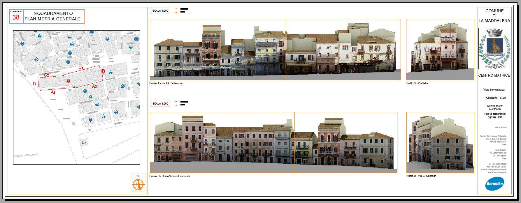
Road profiles
Road profiles represent the development of side buildings along the main road axis. This is a high-level detail product (scale of representation 1: 200) which is used within the urban plan processes such as for example the detailed plans of the historical centres where is also possible to take measurements, perform qualitative and quantitative analyses. In these years Aeronike has studied and developed the development of highly innovative and versatile three-dimensional technical drawings obtained through the integration of photogrammetric images performed by aerial flight, the photographic survey on the ground and the use of drone images. Through successive aerial images processing a point cloud is created automatically, containing plano-altimetric information that allows the creation of a 3D model that is equally accurate and full of information. From the dataset obtained we develop a photo-restored road profile characterized by an accuracy and a detail as that of the reference cartography. The 3D model can be easily viewed in 3D PDF viewers as well as by the main CAD software.

